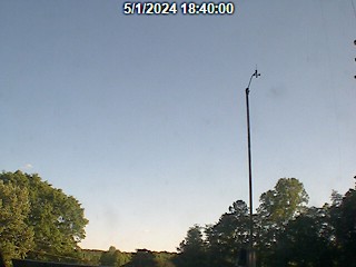
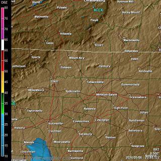
Current Weather - Tobaccoville, North Carolina, USA

NWS

Tobaccoville Forecast
Watches and Warnings
National Hurricane Center
Storm Prediction Center
 

Weather Station

Detailed Current Conditions

Historical Graphs and Data
Current Month Summary
Previous Month Summary
Current Year Summary
Indoor Conditions
About
 
NOAA Satellite
Recent Satellite Images
Current Orbital Positions
Pass Schedule
Downlink Hardware
Andrea Images
 
NEXRAD Radar
GRLevel3 NEXRAD Radar
 
Web Cams
Weather Cams Overview
Sky Cam
Weather Board Cam
Time Lapse Movies
 
Lightning
Current Lightning Activity
Lightning Image Gallery New
 
Pictures
Ice Storm 01/30/05
Hail Storm 03/23/05
Ice Storm 12/15/05
Backyard Squirrels
 
Miscellaneous
Thread Upload FTP Client
Video Tools and Connectors
Weatherlink Scheduled Email
 

Visibility Web Cams

Forsyth County, NC

 
Streaming Video
WXII 12  Weather Plus
 
Friends
Phil's Hamptonville, NC Wx
John's Plymouth, MA Wx
King RC
Riverside Aeromodelers
WX Forum
Weather Photo Gallery
WeatherMatrix
Links Page
 
Tobaccovile Links
Official Tobaccoville Web Site
More Tobaccoville Info
 

Conditions at  0:15 on 05/19/08

Temperature: 53.5°
Today's High: 54.1°  at  0:00  
Today's Low: 53.5°  at  0:13  
Relative Humidity: 90%
Dew Point: 50.6°
Barometer: 29.624 in  Rising Rapidly
Wind: 3.0 mph  from the NW 
Gusting to: 3.0 mph
Today's High Wind:  3.0 mph at  0:13 
Wind Chill: 53.5°
Heat Index: 53.6°
Temperatures in °F
 
Rainfall
Rain Rate: 0.00 in/hr
Storm Total: 0.54 in
Today: 0.00 in
Month to date: 2.94 in
Year to date: 15.65 in
 
Almanac
Sunrise:   6:12
Sunset:  20:24
Moon Phase:  Full Moon
 
Latest NOAA Satellite Image
Click for Satellite Image Gallery
This image was received directly from a NOAA Polar-orbiting Operational Environmental Satellite. Image quality varies depending on which satellite is overhead and the satellite ground track.
 
Weather Underground
Weather Station History
Tobaccoville Forecast
Star Chart
Maps
Temperature
Heat Index
Wind Chill
Humidity
Regional Radar
NEXRAD Radar
Dew Point
Wind
Visibility
Visible Satellite
Satellite
Fronts
Jet Stream
Flight Rules
Forecast Maps
Temperature Forecast
Maximum Temperature Forecast
Minimum Temperature Forecast
Dew Point Forecast
Prevalent Weather
12Hr Probability of Precipitation.
Sky Cover
Health Maps
UV Forecast
Air Quality
Peak Air Quality Index
 
Weather Cam
Click for Web Cams Overview
Radar
Click for Large Radar Image
Lightning Activity
Click for Lightning Activity
Current Weather Map (From Weather Underground)
Weather Underground Current Weather Map
WXII 12 Weather Watcher
WXII


This site automatically updated by Thread Upload FTP Client

Site contents © tobaccovilleweather.com 2004-2008  
Portions © Weather Underground  
Never base important decisions on this or any other unofficial weather information.